Getting here is part of the adventure. Whether you’re driving up from the city or exploring between our local villages, the journey sets the tone for what’s ahead. These tools are here to help you find your way with ease and confidence.
Your Path to the Blue Mountains
Wasaga Beach
45 Minutes
Barrie
1 hour
Kitchener
2 hours
Toronto
2.5 hours
Pearson Int'l Airport (YYZ)
1 hr 45 Minutes
Hamilton
2.5 hours
London
3 hours
Sudbury
3.5 hours
Niagara Falls
4 hours
Buffalo
4.5 hours

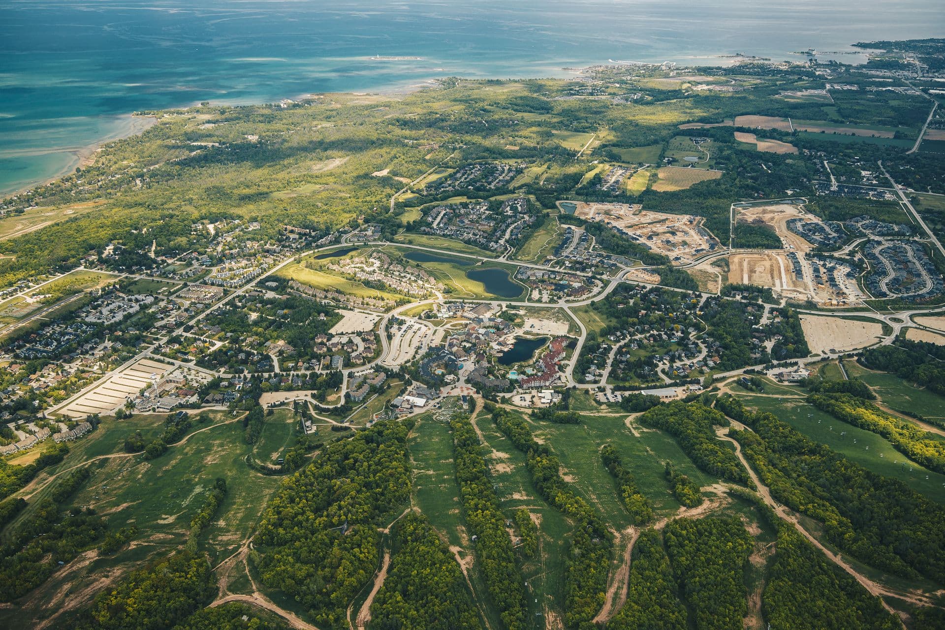
Getting Here
Located approximately 2.5 hours northwest of Toronto, the main corridor to our region is Highway 26.
GPS & Parking Destinations:
Location: 156 Jozo Weider Blvd, The Blue Mountains.
GPS: 44.5029° N, 80.3134° W
Location: 15 Arthur St. W, where you will find convenient municipal parking.
GPS: 44.56179 N, 80.45294 W
Location: 200 Marsh Street, Clarksburg, where you will find parking for exploring the village.
GPS: 44.5098° N, 80.4907° W
Arriving By Air:
Most visitors arrive at Pearson, the closest major international airport. From there, it is approximately a 2-hour drive to the Blue Mountain Village area.
For private aviation and local charters, located just 15 minutes away.
Link: https://cny3.ca
Renting a car allows you to easily transition from the airport to the mountain. Major rental counters are located on Level 1 of the Terminal 1 and Terminal 3 parking garages.
On-Site Agencies (Terminal 1 & 3):
Avis: https://www.avis.ca
Budget: https://www.budget.ca
Enterprise: https://www.enterprise.ca
Hertz: https://www.hertz.ca
National / Alamo: https://www.alamo.ca
Off-Site Agencies (Accessible via the free Link Train to Viscount Station):
SIXT: https://www.sixt.ca
Routes Car Rentals: https://www.routes.ca
There are two primary routes from the Greater Toronto Area (GTA) and Pearson Airport:
The Fastest Route (Hwy 400): Take Hwy 400 North to Barrie, exit at Hwy 26 West, and follow it through Stayner and Collingwood directly into The Blue Mountains.
The Scenic Route (Hwy 10): For a more relaxed drive through rolling farmland, take Hwy 10 North through Orangeville and Shelburne. This is a great alternative on busy Friday afternoons when Hwy 400 is congested.
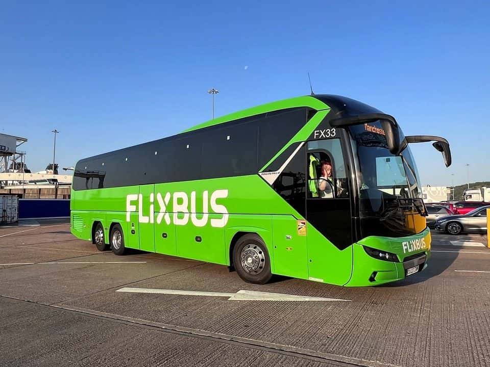
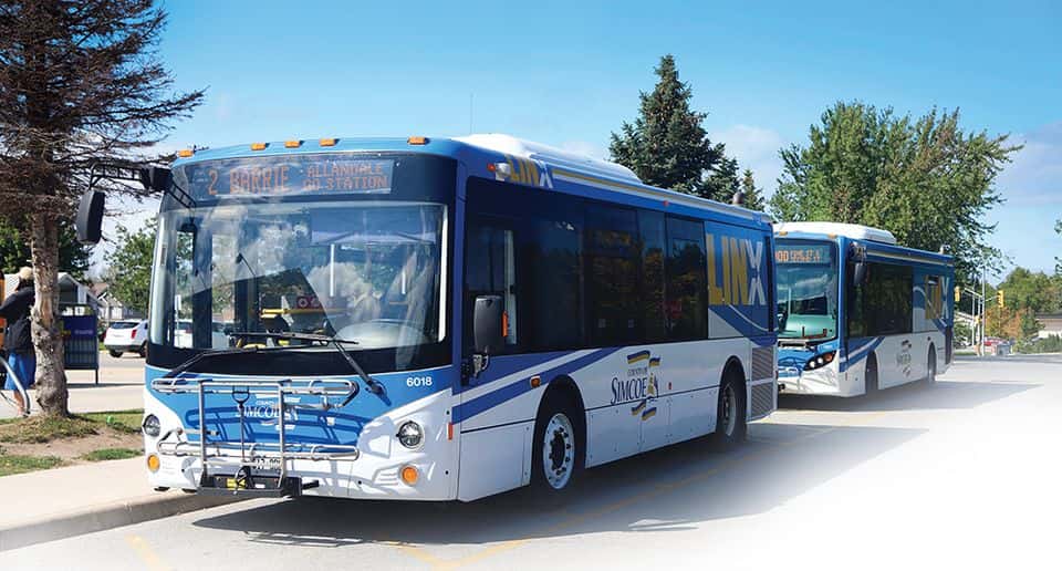
Modes of Transportation
-320x249.jpg&w=3840&q=60&dpl=dpl_8o5F92z1vkpU3PsywkpZDLvn4k3W)
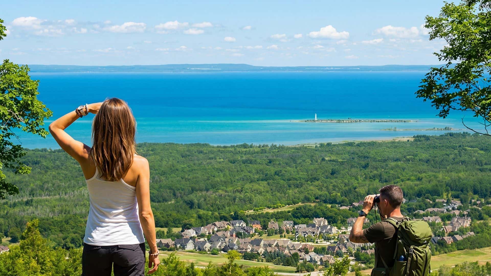
Digital & Printable Maps
Make the most of your visit with a range of digital and printable maps designed to keep you exploring with ease. The Town of The Blue Mountains Trail Network map highlights over 285 km of maintained trails, while the Bruce Trail Conservancy offers detailed routes and up-to-date trail conditions along one of Canada’s most iconic footpaths. For added convenience, the Live Parking Map helps you locate real-time parking availability and nearby amenities.